In a fast-moving incident your team is spread out and no one shares the same picture — positions get relayed by radio and decisions ride on stale information. SituationWare puts your whole team on one live map: real-time positions, shared markers and routes, group chat, and after-action playback — online, or in the field with no signal.
They all share the same live map.
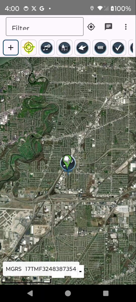
Take the map into the field. The native app keeps working with no signal — markers, routes, GPS and chat sync when you're back in coverage.
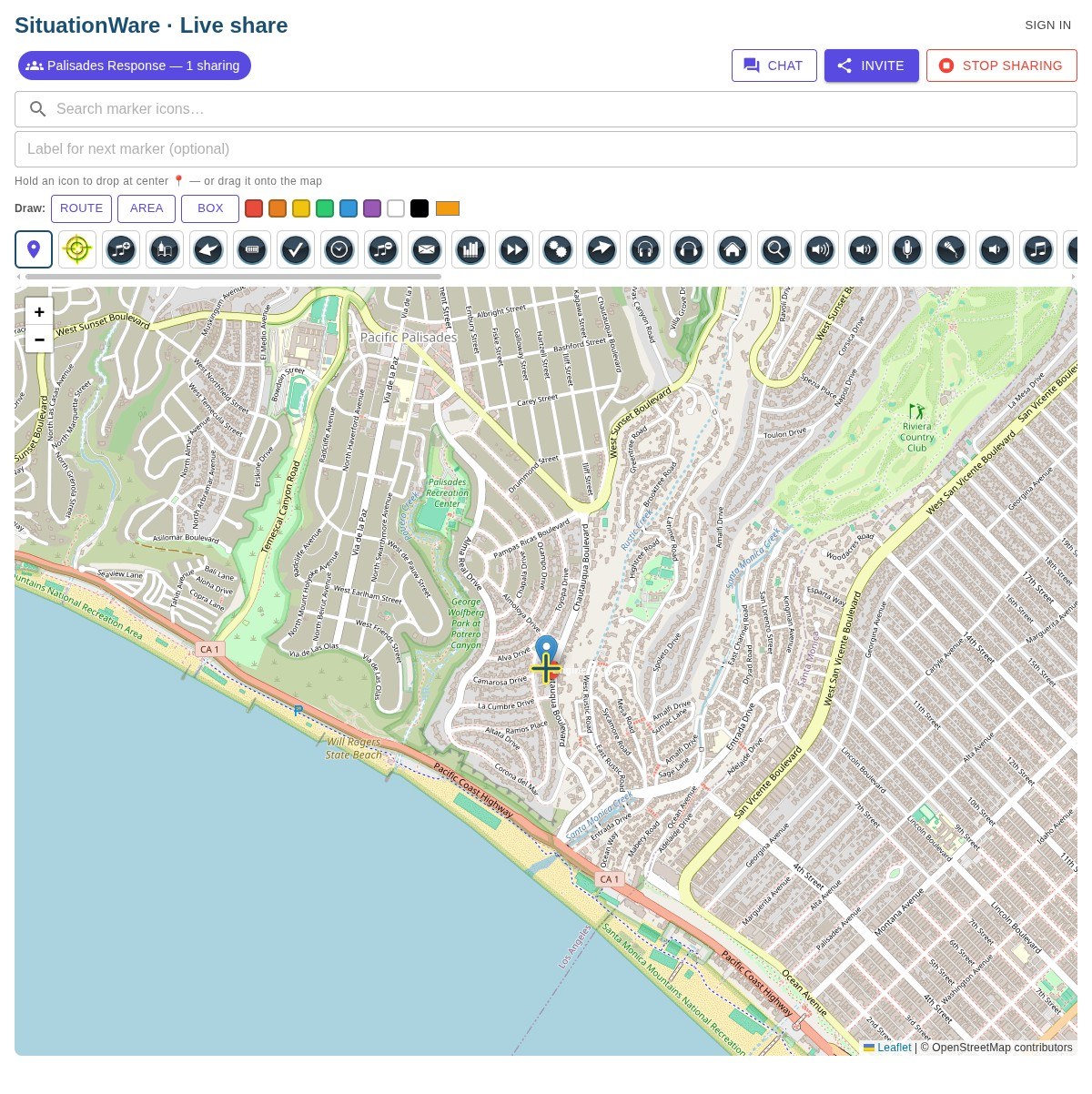
The fastest way to coordinate. Share a link or code and everyone who joins appears on one live map — seeing each other's location and markers in real time. No app, no account.
The complete picture for your organization: teams and roles, saved formations, tactical symbology, drawing and measurement, fire-spread modeling, tabletop exercises, and recorded after-action review.
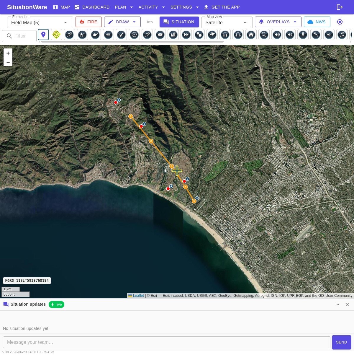
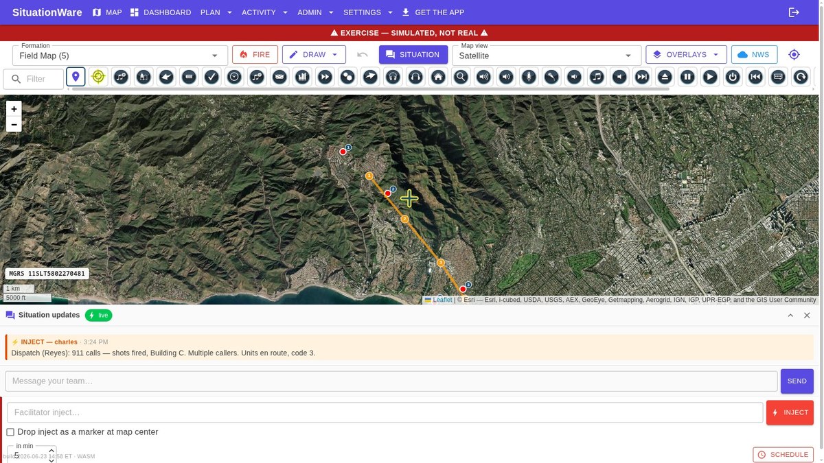
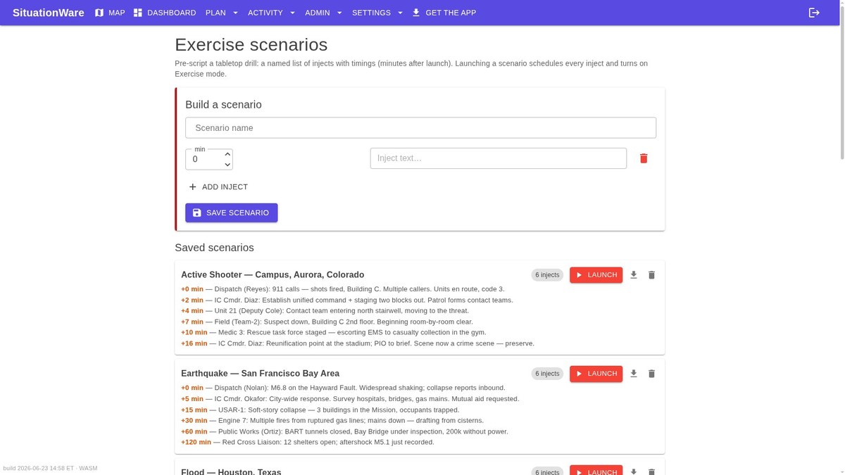
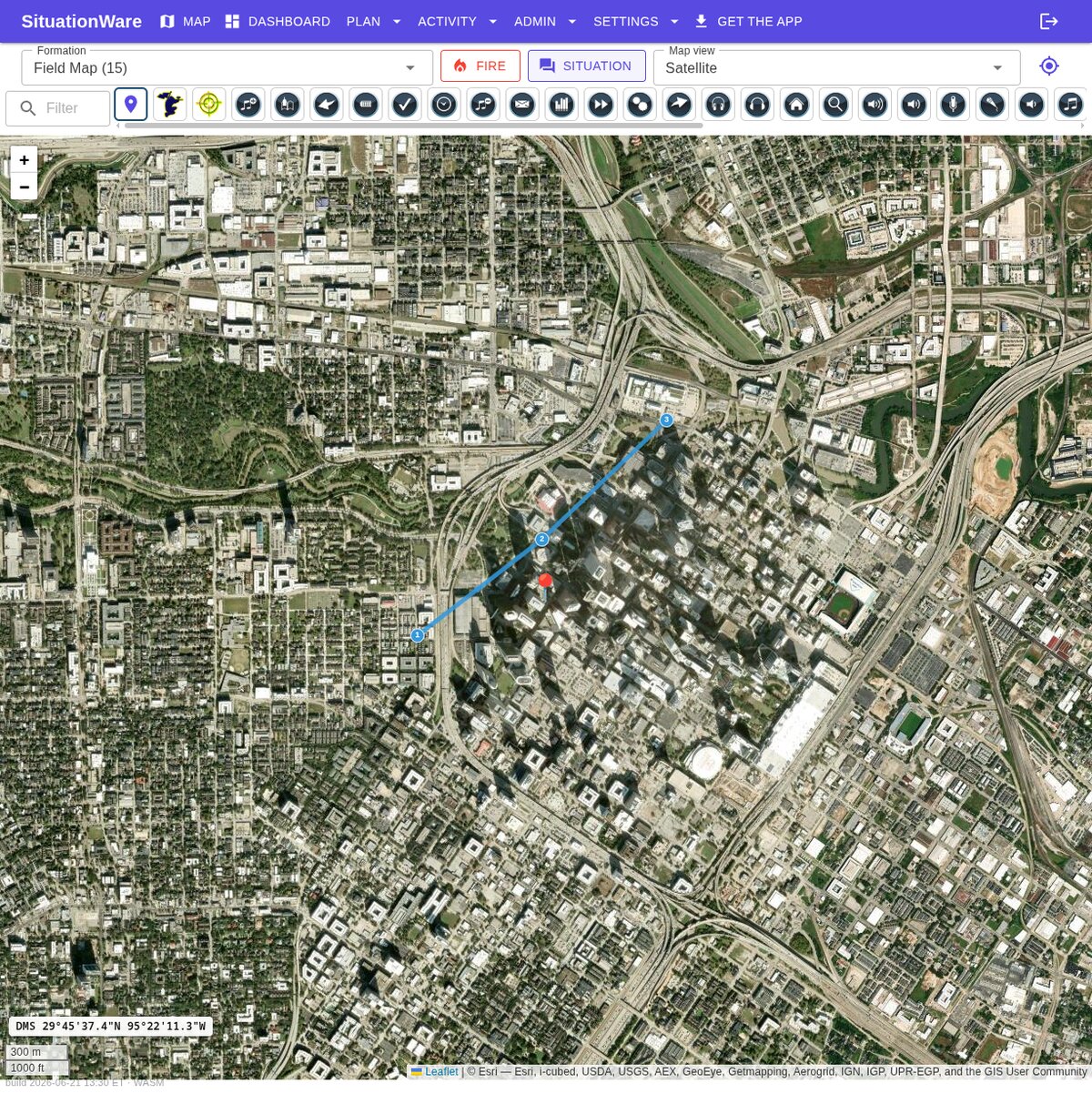
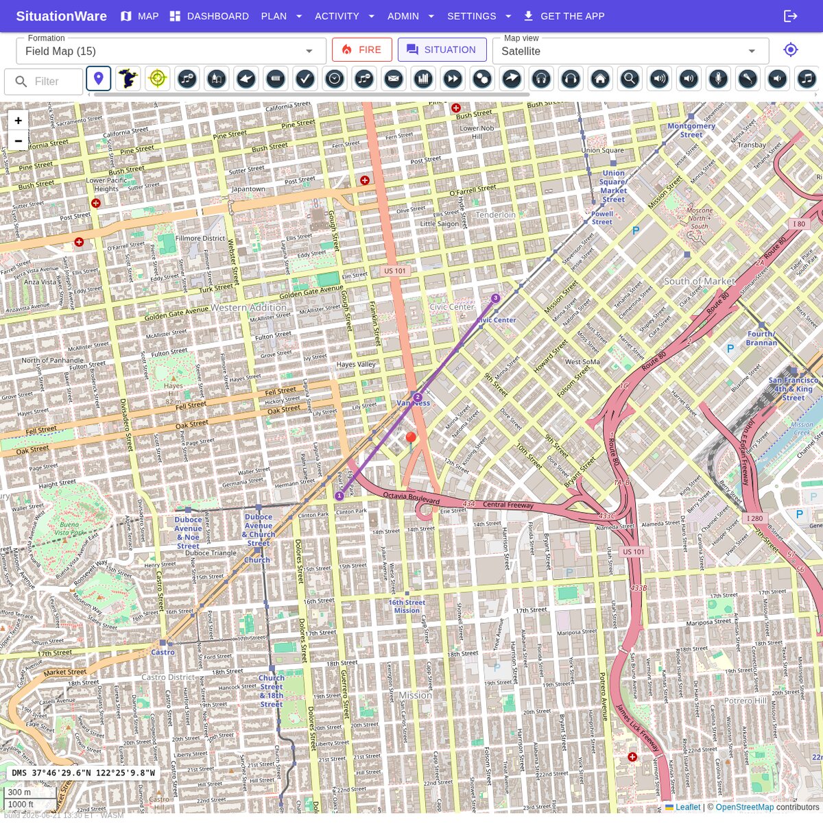
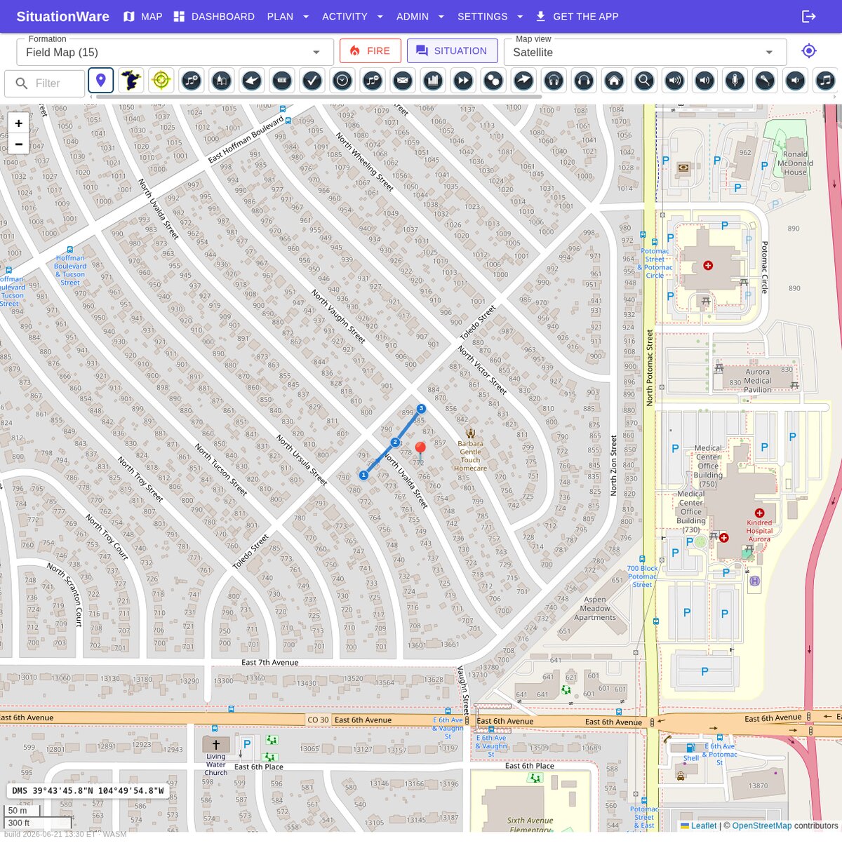
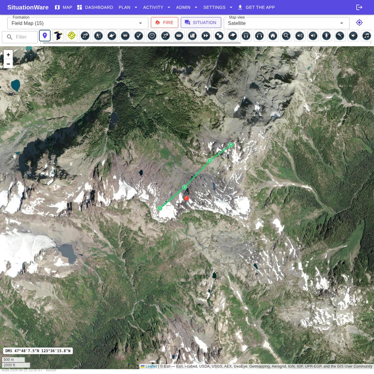
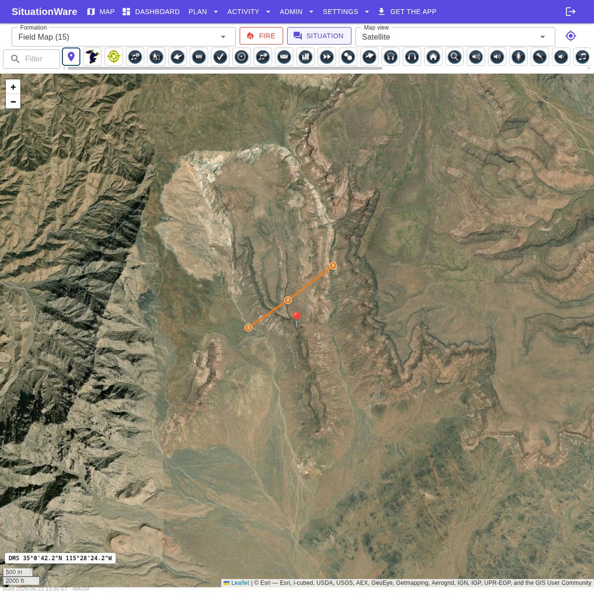
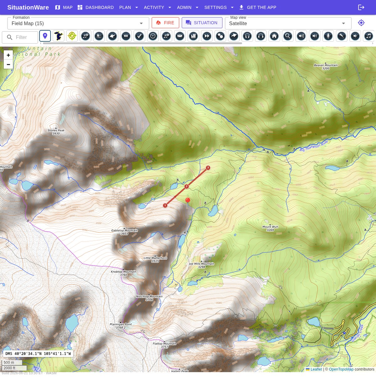
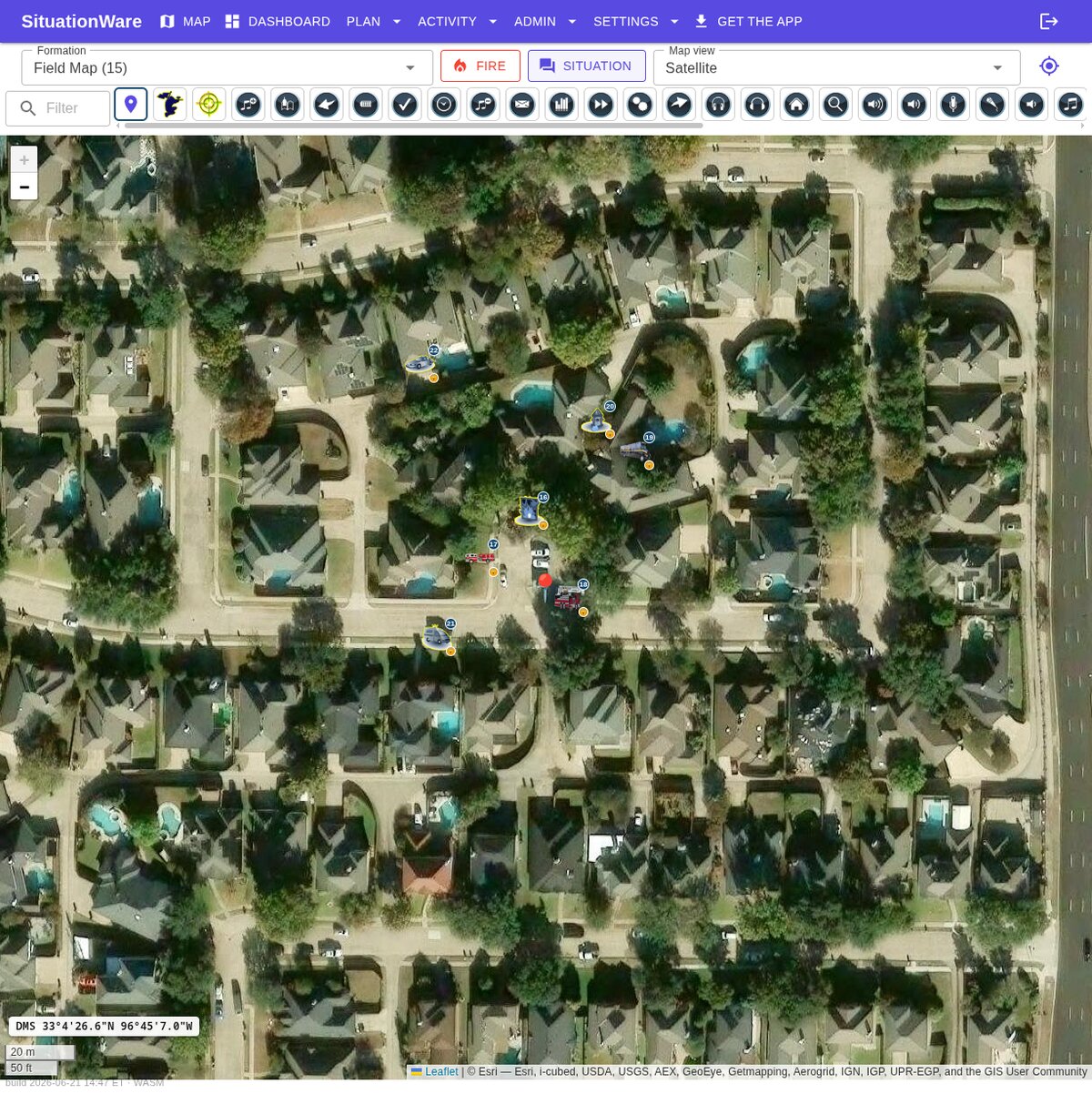
Real screens — satellite imagery, tactical markers, and tabletop exercises.


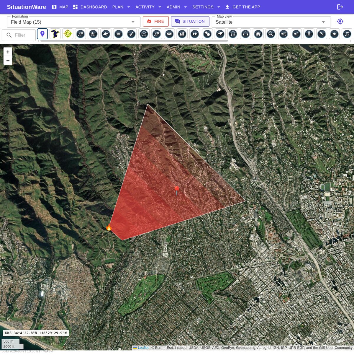
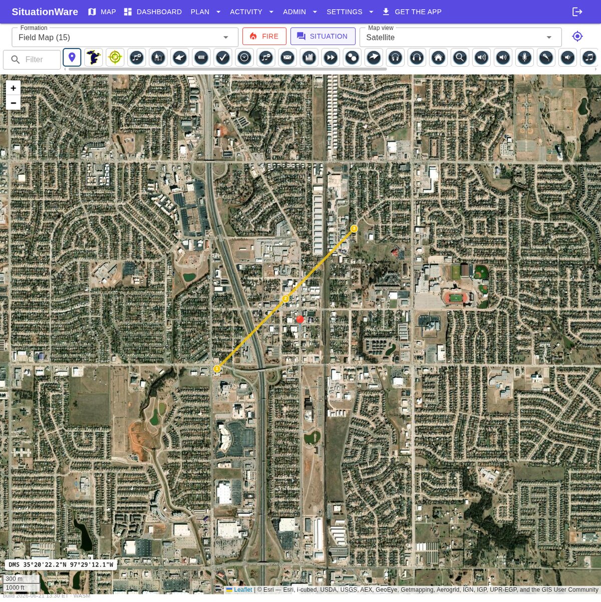
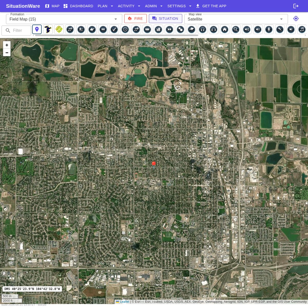
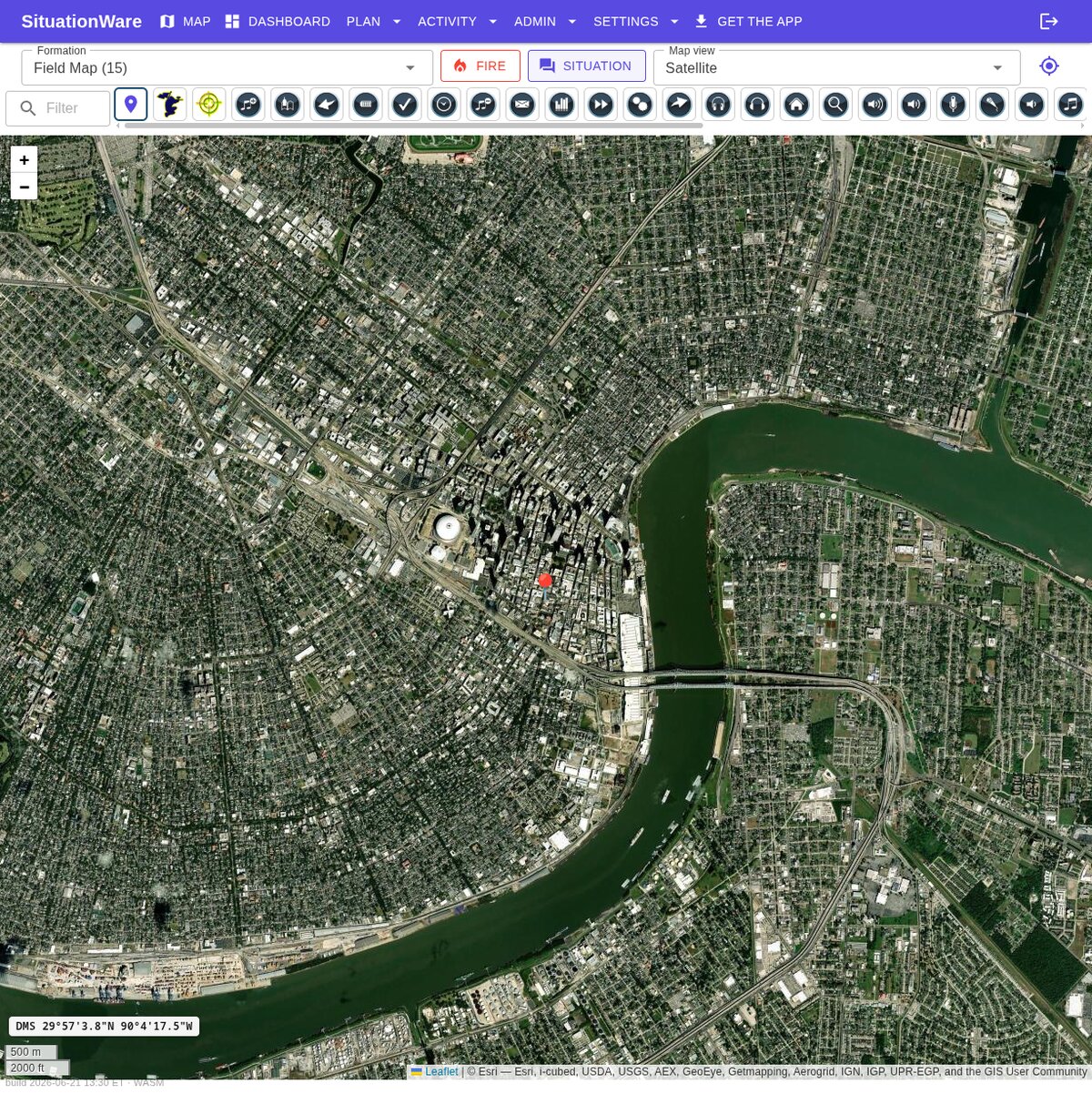
Satellite, street or topographic — the right view for the mission, with routes drawn and fire spread modeled. Tap any drill to watch its clip.


Native, offline-first — recorded on a phone. Tap to play.


Real-time teammate positions on one shared map that everyone watches update together.
Searchable icons with notes, hot/warm/cold threat zones, lock, and per-marker coordinates (DD/DMS/MGRS) with a street address.
Sketch routes, filled areas and boxes in any color, measure distance, and read a live scale bar — on the map.
Project spread from an ignition point with wind direction and speed to stay ahead of it.
A running situation feed beside the map keeps everyone aligned and timestamped.
Run drills with an EXERCISE banner, facilitator injects, scheduled events and reusable scenarios.
Replay positions, chat and map changes on a timeline to debrief and improve.
Built for poor and intermittent coverage — keep working, then sync on reconnect.
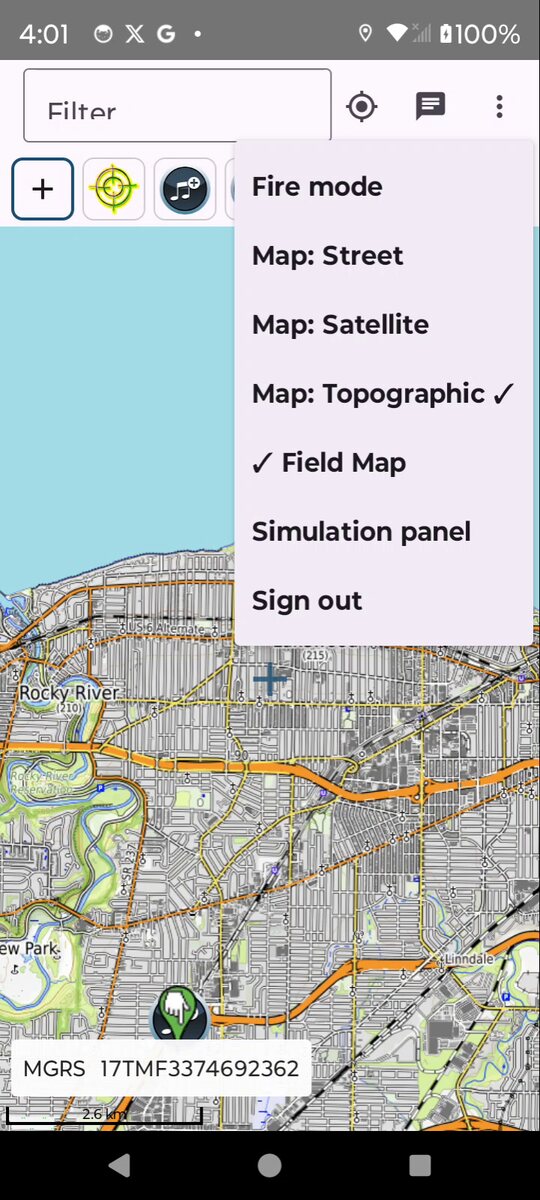
Switch base maps on demand to match the terrain and the task.
Toggle real-time NWS radar, watches & warnings and FEMA flood zones, with a one-tap link to the local National Weather Service forecast.
Drape a floor plan, sketch or aerial photo over the live map so everyone sees it in place.
Snap a photo, record audio or video right on a marker from the field — attached for the whole team.
Commanders share links and distribute documents — SOPs, maps, checklists — to every device.
Pre-cache an area before you go so the map keeps working with no signal in the field.
Keep command and responders on one picture during an evolving incident.
Track teams across terrain, mark finds, and coordinate sweeps in real time.
Position staff, share posts and routes, and respond together from one map.
Run ready-made drills — tornado, wildfire, hurricane, flood, earthquake — with facilitator injects, then review the recording.
Start a live share in seconds, or open the full platform.